Photo Album
Saba
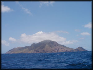
The Island Saba Rock From A Distance
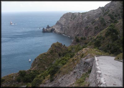
Our Not So Hospitable Anchorage And The Road (That Couldn't Be Built)
Leading To Town. Baggywrinkle Is The White Dot In The Lower Left.

The Town Called The Bottom
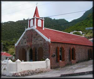
A Church In Bottom
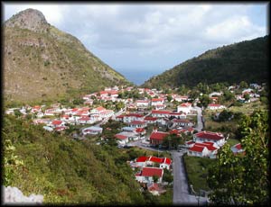
Bottom From The Top
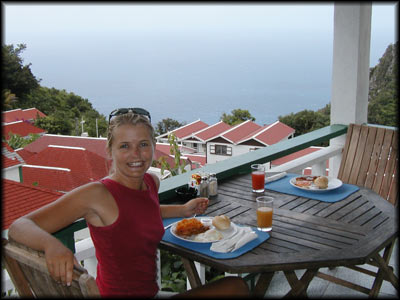
Brunch With A Spectacular View In The Town Called Windward Side
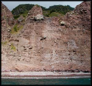
The Beach (if it can be called such) Where We Swam Ashore
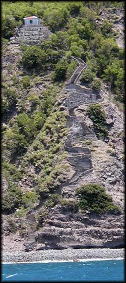
The Step Trail Leading From The Boat Landing To A Road
For Many Years This Was The Only Way Ashore For People And Goods!